Like most weekends past this weekend will contain a chance for popup scattered/isolated showers and storms. Some locations may not see rain at all while others may see rain several times over the weekend. The good news is a lot of dry hours will mix in for the weekend and it won’t be a washout. Showers will generally be fairly scattered on Saturday and Isolated on Sunday with hazy conditions, light winds, and humid with warm temperatures. A few storms may produce some small hail mainly on Saturday. Do expect gustier conditions around thundershowers and storms, I am not expecting any severe weather. The Red River Valley looks to be shower-free for most of the day with showers on either side. The best chance for rain around the Fargo area is to hold off closer to and after dark.
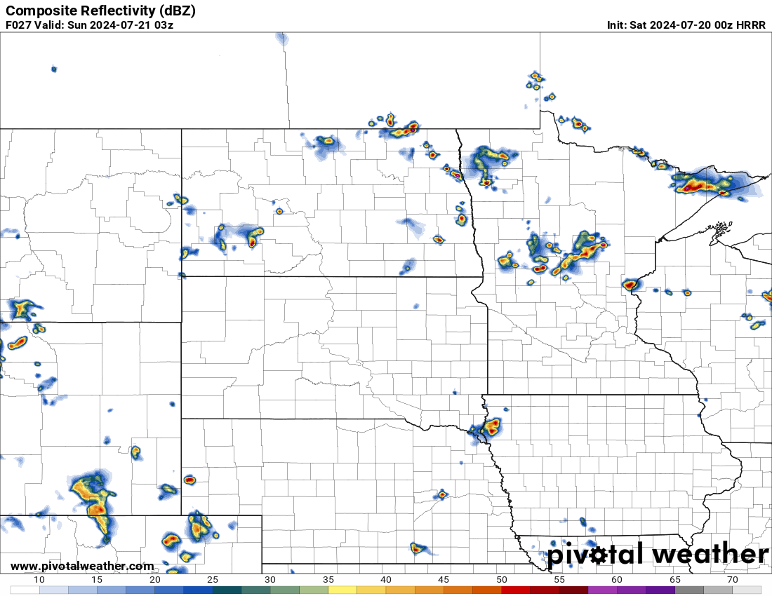
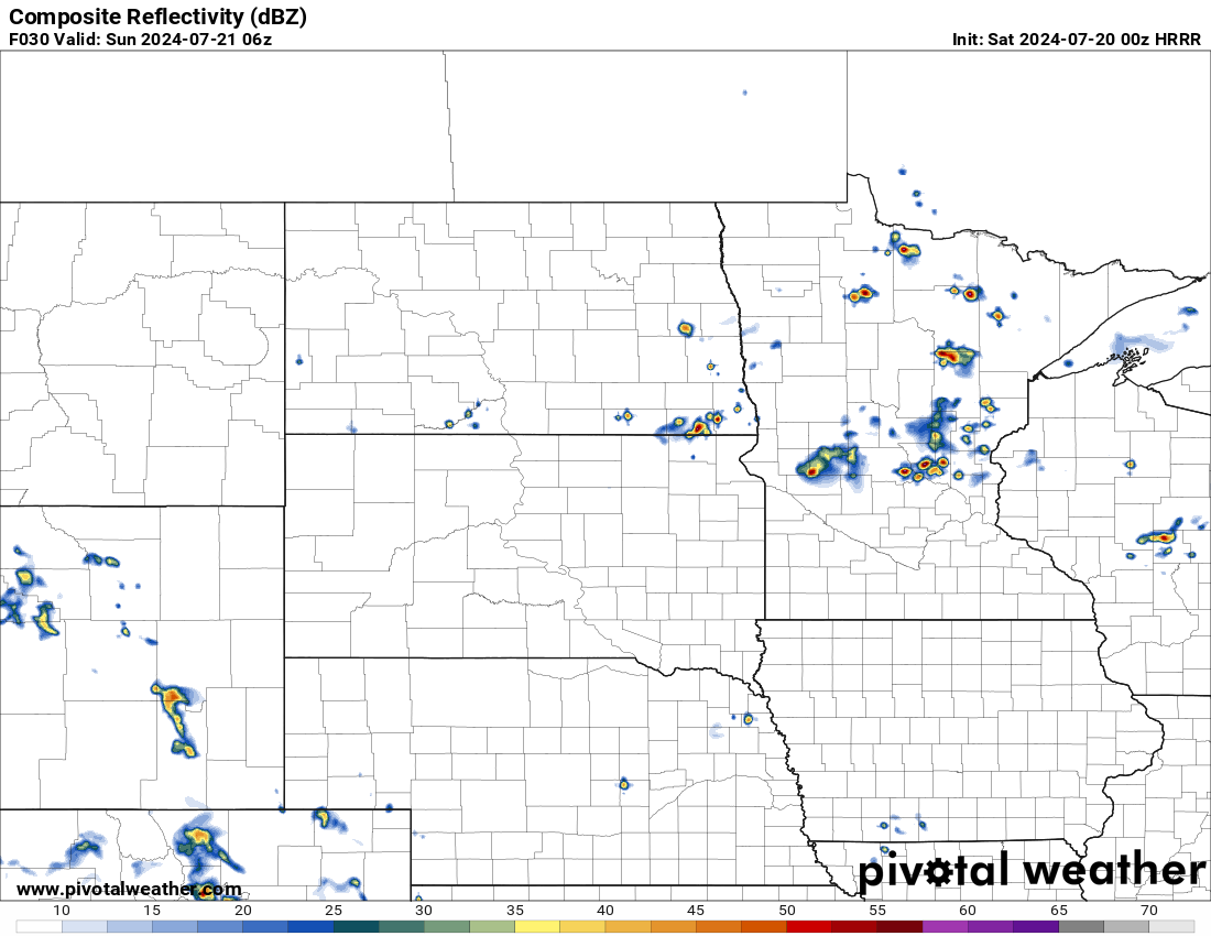
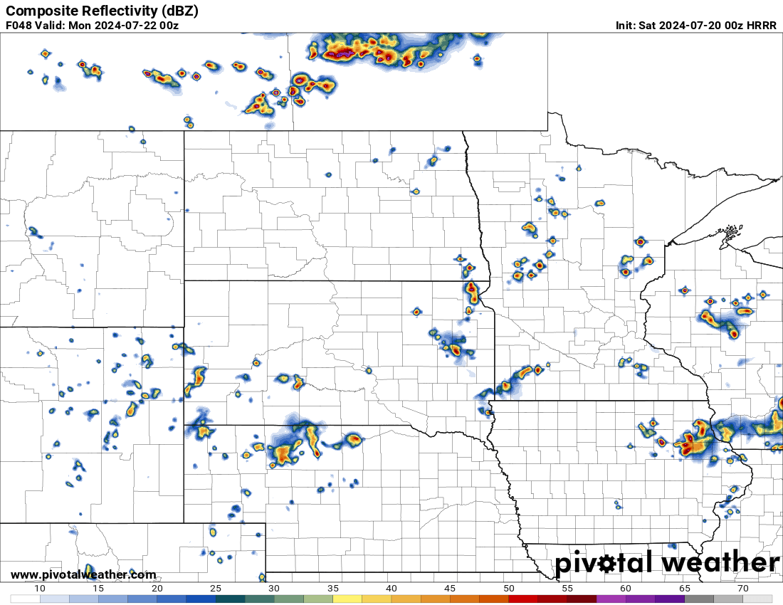
Here are some model estimated/simulated radar for Saturday at 5:00, 7:00, 10:00 pm, and 1:00 am Sunday. Note what occurs will likely not be identical but similar. In reality, these showers will have the potential to pop up anywhere… but these model simulations usually give you a decent idea of what things will look like.
(7/20/24 0z HRRR) Sim Radar at 5:00 pm CDT 7/20/24 via pivotal weather
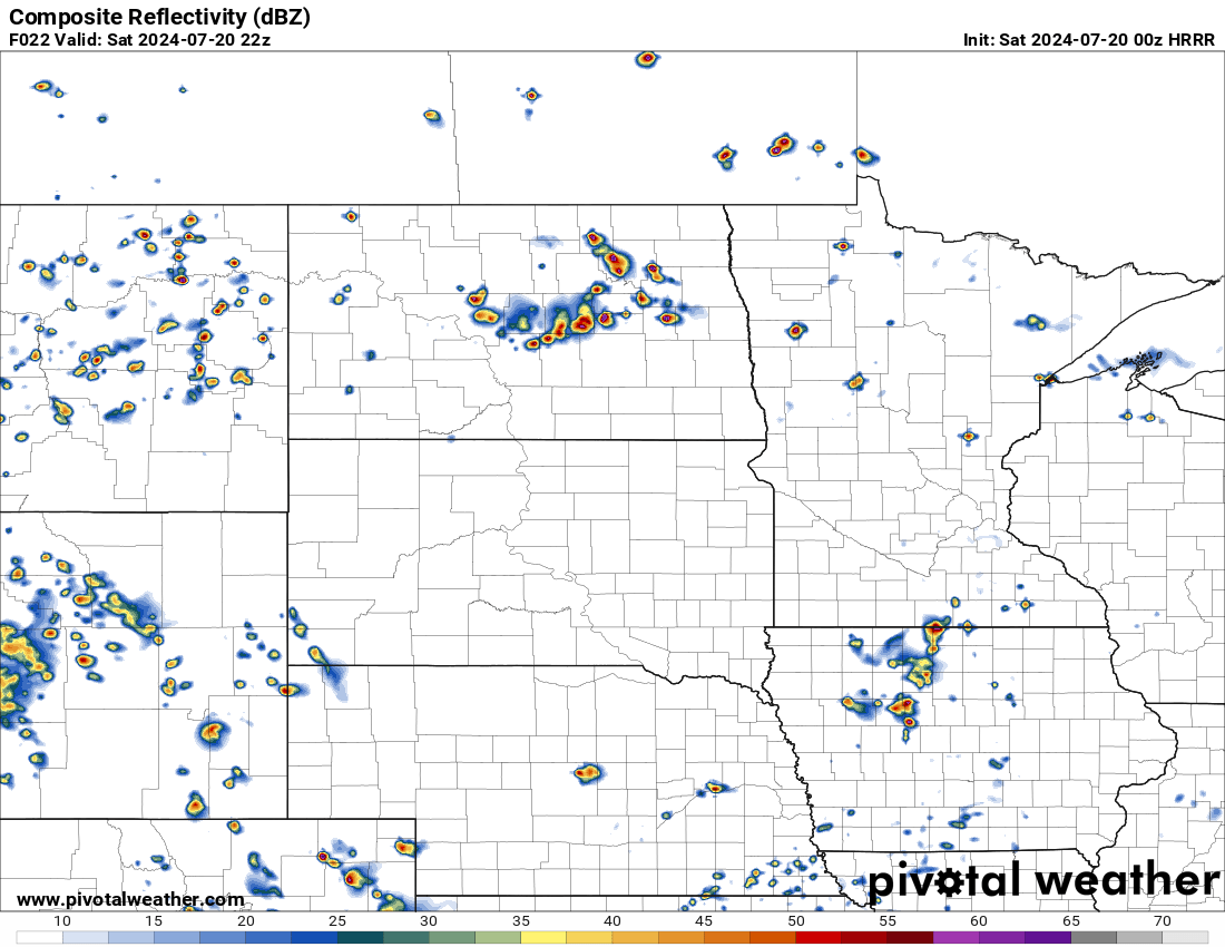
(7/20/24 0z HRRR) Sim Radar at 7:00 pm CDT 7/20/24 via pivotal
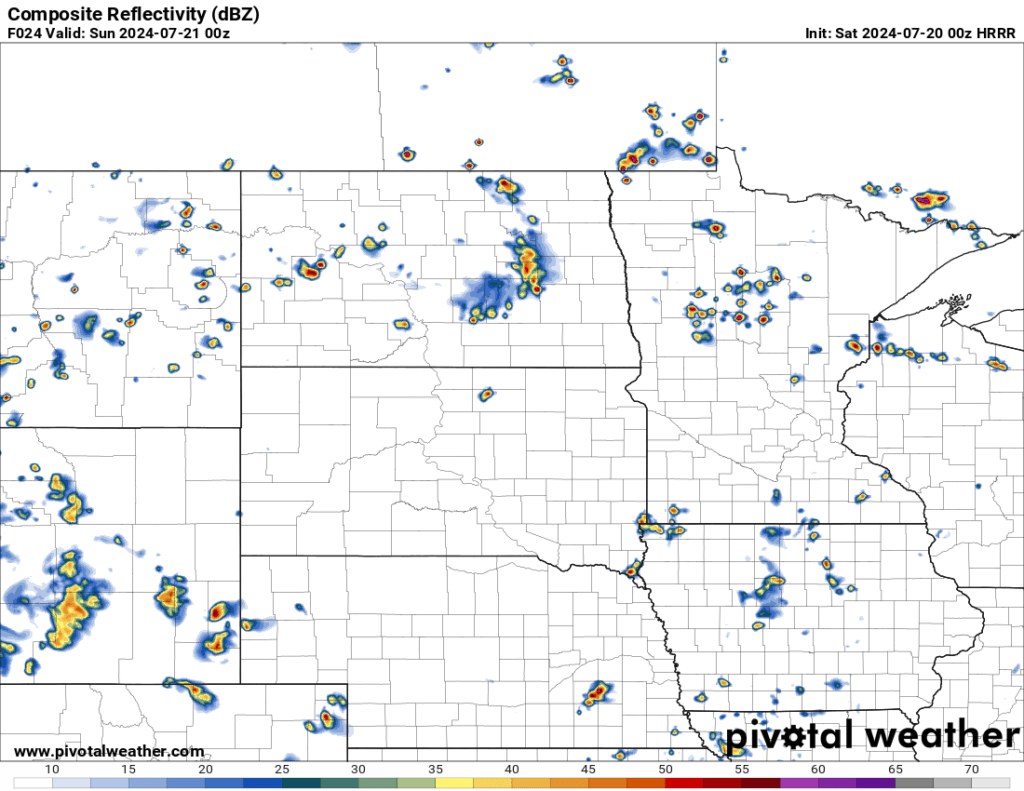
(7/20/24 0z HRRR) Sim Radar at 10:00 pm CDT 7/20/24 via pivotal weather
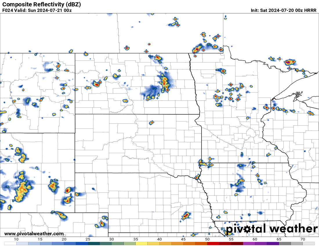
(7/20/24 0z HRRR) Sim Radar at 1:00 am CDT 7/21/24 via pivotal weather
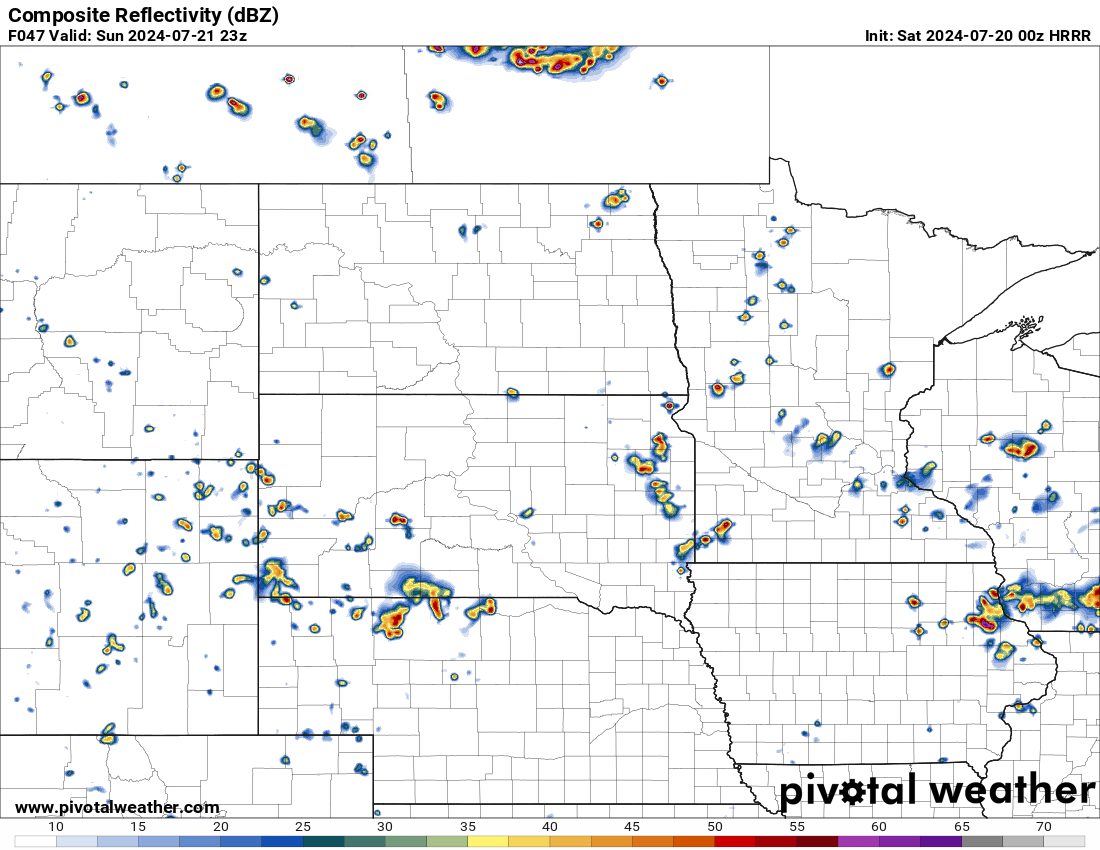
Additionally Sunday at 4:00, 6:00, and 7:00 pm
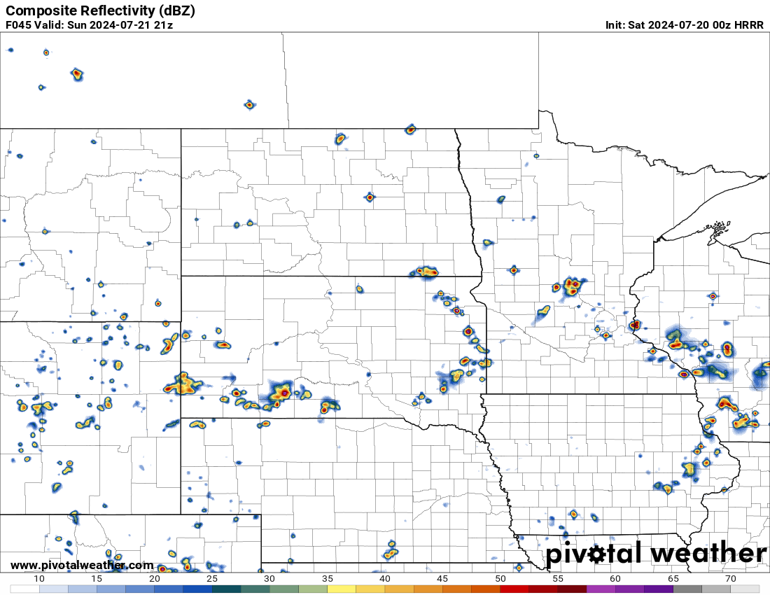
(7/20/24 0z HRRR) Sim Radar at 4:00 pm CDT 7/21/24 via pivotal weather
(7/20/24 0z HRRR) Sim Radar at 6:00 pm CDT 7/21/24 via pivotal weather
(7/20/24 0z HRRR) Sim Radar at 7:00 pm CDT 7/21/24 via pivotal weather
Meteorologist,
Justin Storm