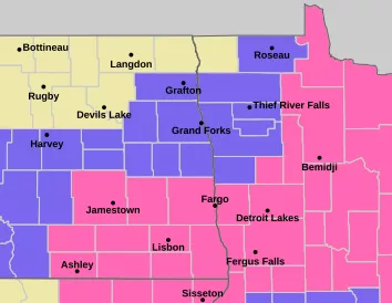
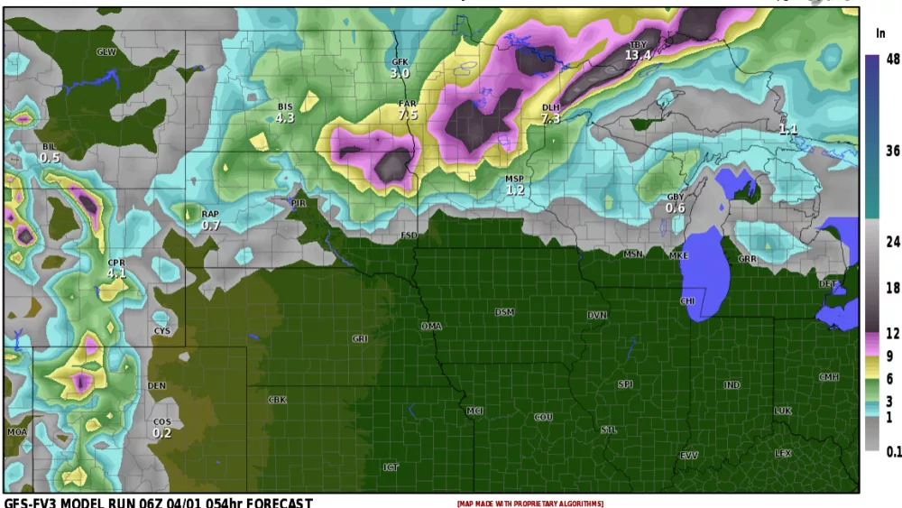
MERRY CHRISTMAS!!! Oh wait, it’s the 3rd week in April but yet we are dealing with SNOW!!!! Here’s a rundown of snow totals: https://www.weather.gov/source/crh/snowmap.html?sid=fgf
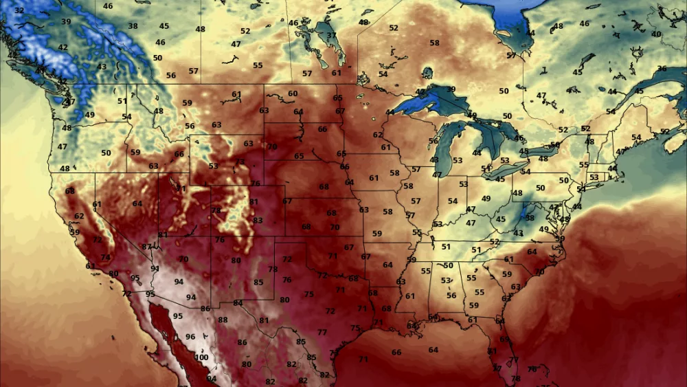
Mother Nature can be cruel sometimes. We haven’t even had a taste of spring here, yet!! Temps have been below normal all month long and I don’t see a change in the pattern until after the 1st week in MAY!!! Now, we will see 40s and 50s in the forecast but we SHOULD be seeing 60s. The LRC does have another storm toward month’s end and our long range models are now picking up on it. I’ve attached the surface map of ONE of our models depicting RAIN for later next week. Here’s the catch, this may end as snow showers as colder air gets pulled into the storm and leads to a chilly weekend. Will we see accumulating snow? If we do, it won’t be anything to worry about…..fingers crossed.
We will finally start seeing more consistant spring temps after May 6th time frame. Let’s hope so….it’s been a LONG drawn out winter/spring.
Chief Meteorologist,
Dean Wysocki


