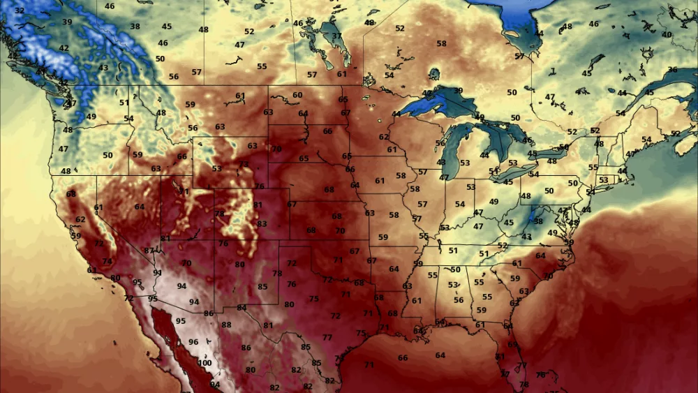
A pretty rare event occurred yesterday. With no front (warm or cold) nearby…..there was a 48 degree temp spread over a 150 mile stretch. That in itself is pretty impressive. Typically you will have big temp contrasts when there is a front nearby but yesterday was different. I’ve attached a snow depth map from yesterday. While Aberdeen SD was sitting at 46….Pierre SD just down the road from Aberdeen topped out at 94!!!! That is incredible. The reason??? Snow pack. Notice that ABR (Aberdeen) is in the area covered in blue (snow pack) while PIR (Pierre) has NO snow on the ground. Typically snow vs. no snow will see a 10 to 20 degree temp difference but rarely 47 DEGREES!!!
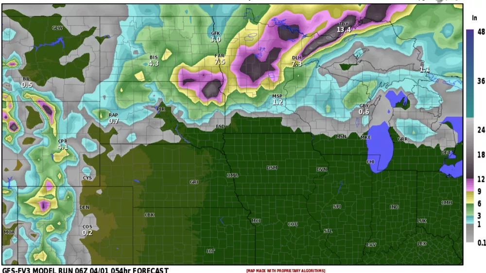
Now our attention turns to the approaching storm for Thursday-Saturday. What we DONT want is 1+” of rain. This would severely aggravate the flooding. Good news is most models churning out 1/2″ to 3/4″ with lesser amounts out west. While river levels WILL rise…..we may hold into “moderate” flooding instead of MAJOR flooding potential. The LRC still has 2 additional storms by the end of the month so we will be keeping a close eye on those.
Chief Meteorologist,
Dean Wysocki


